470 Rotsvy Road
Hoedspruit Wildlife Estate
South Africa
info@lalalodge.co.za
This trail is among the longest in the Blyde River Canyon region, and undoubtedly the most adventurous.
Hello from the other side: People frequently gather along the Panorama route to enjoy an aerial view of the world’s third-largest canyon. The Hippo Valley Trail in Swadini lies on the „opposite “ side and leads directly into the canyon.
The 14km out-and-back hike follows the eastern banks of the Blyde River Dam. A little heads-up navigation-wise: In certain areas, the trail can easily be confused with game paths, and the yellow footprint markers painted on rocks are hard to spot sometimes. Make sure you don’t wander off – we know what we are talking about!
Swadini offers a variety of simpler and more accessible walking trails as well. A small permit fee is required upon entering the Blyde River Canyon Nature Reserve regardless of the hiking experience you select.
Trailhead & Parking:
Blyde River Canyon Nature Reserve entry gate – marked with „Hippo Trail starting point“ in Google Maps.
Total length: 14 km
Route type: Out-and-back
Download GPX track
Generally considered a challenging route. We strongly suggest downloading the GPX-file to use it offline!
Trailhead & Parking:
After paying the permit fee at the gate, cross the bridge and follow the road for another 500 meters.
Total length: 1,8 km
Route type: Out-and-back
Download GPX track
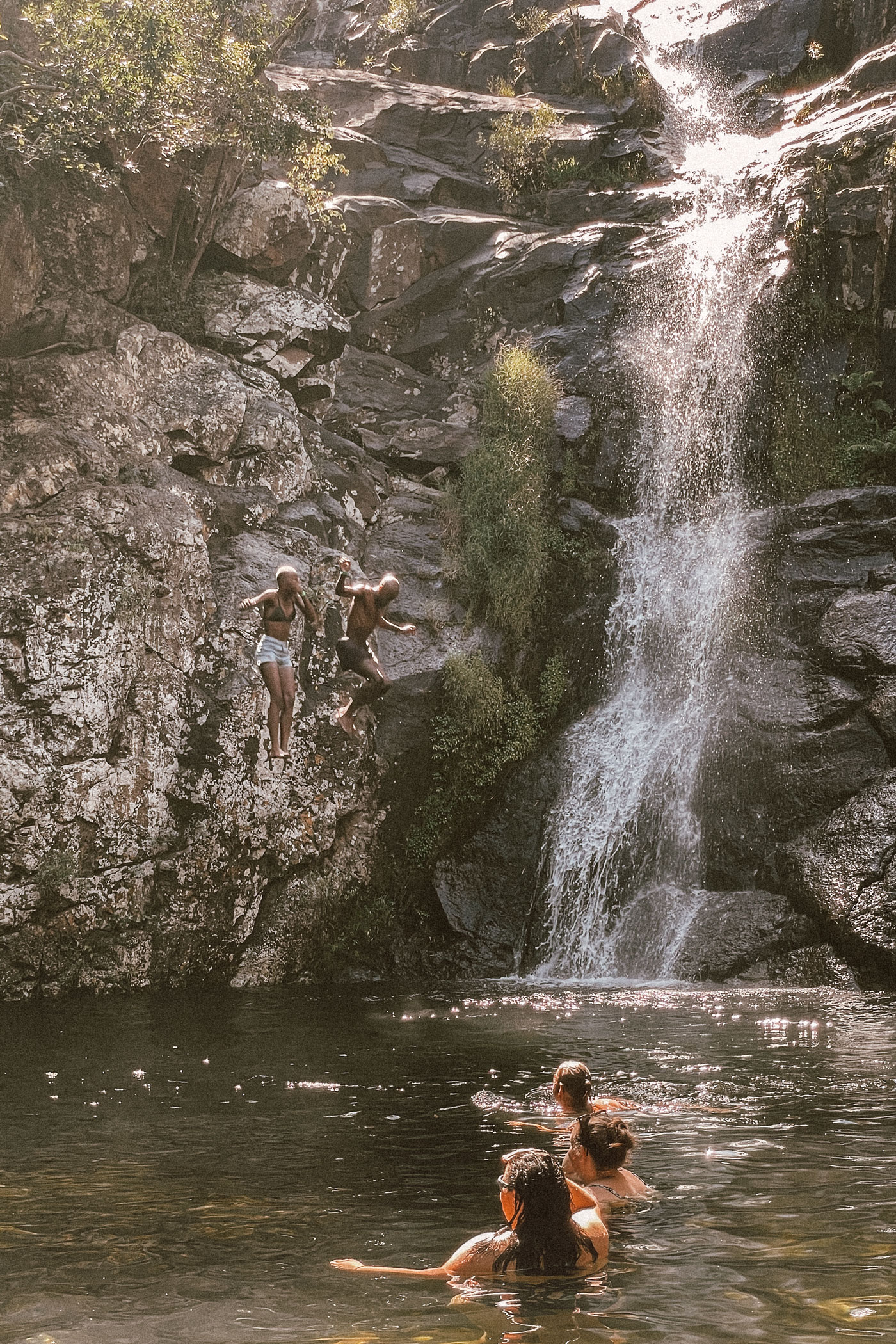
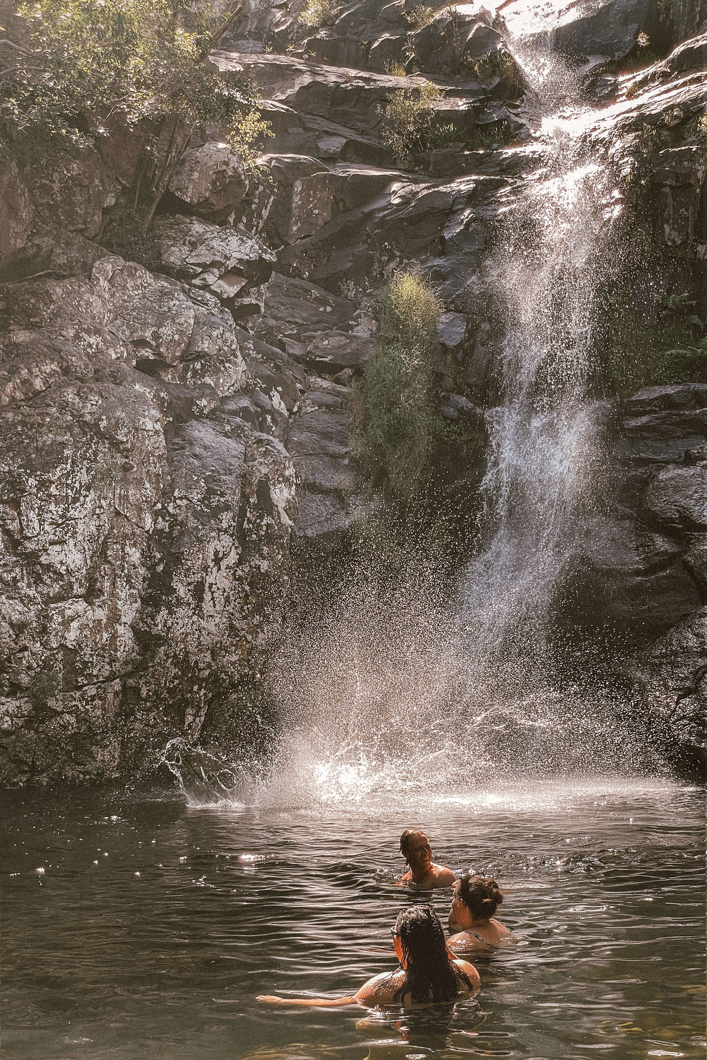
An easy walk through a forest leading to a waterfall, where you can enjoy a swim.
Trailhead & Parking:
After passing the gate, cross the bridge and follow the road until it ends at the Nature Conservation Visitor’s Centre right by the dam.
Total length: 2,3 km
Route type: Roundtrip
Download GPX track
An easy hike along the confluence of Ohrigstad River and Blyde River at the Blyde River Dam.
470 Rotsvy Road
Hoedspruit Wildlife Estate
South Africa
info@lalalodge.co.za
To make your digital journey smooth as a safari ride, we use cookies to store and/or access device information. Not consenting or withdrawing consent, may adversely affect certain features and functions.